


Public Domain
Map, September 16, 2026
Interactive Live Map: Fighting between the Houthis, the Yemeni Government, and the Saudi-led Coalition
Creator: Stephane Cohen
This interactive map tracks the conflict in Yemen from July 2026 onward. It is continuously updated and based on open-source intelligence (OSINT), including geolocated visual documentation, satellite imagery, statements by official and non-state actors, and reporting from regional and international media outlets. The map aims to illustrate and document military activity and the movement of front lines over time.
Interactive Map
The geographic data is updated continuously.
To prevent loading issues or browser crashes on mobile devices, please view the full interactive map below:
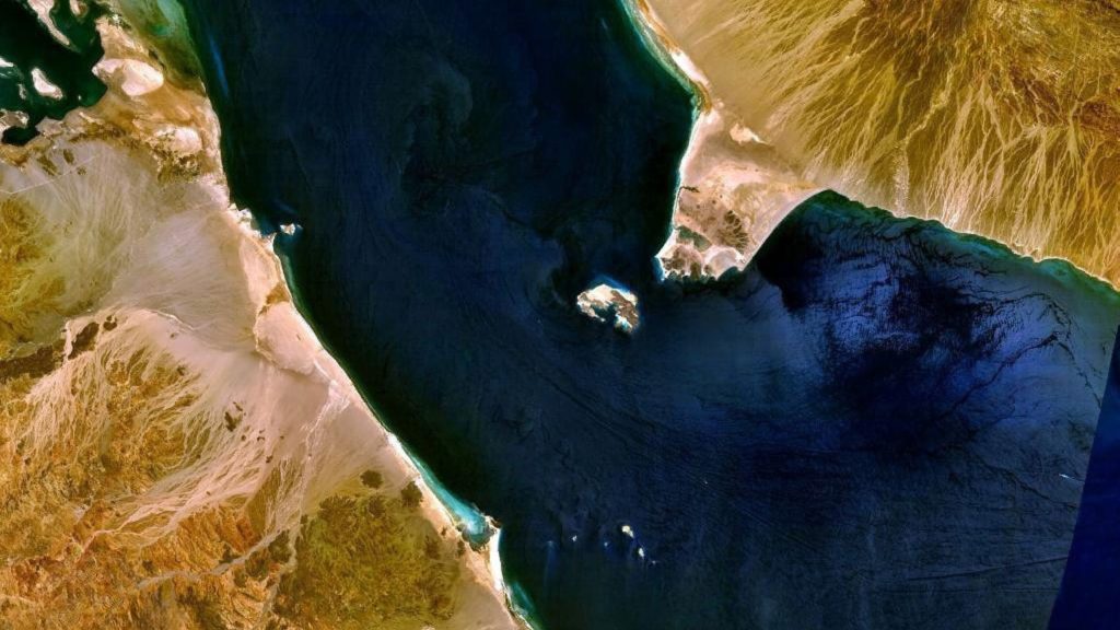
What the map records. The map covers kinetic and operational events with a media or physical footprint: airstrikes and air support missions; ground clashes and frontline engagements reported at a named location; missile and drone launches, together with their impact or interception sites; attacks on merchant and naval vessels, boardings and seizures, mine and waterborne-IED incidents; strikes on ports, airports, energy and transport infrastructure; cross-border missile and drone attacks on Saudi Arabia and beyond; and directly connected allied or partner operations. Its geography extends beyond Yemen itself to the Red Sea, the Bab al-Mandab Strait, the Gulf of Aden, the Arabian Sea approaches and the wider regional theatre in which the war is now being fought.
How incidents are verified. The project is built on OSINT (open-source intelligence): geolocated visual documentation, satellite imagery, official statements from states, militaries and multilateral bodies, statements by non-state actors, maritime safety notices from UKMTO, and EUNAVFOR Aspides, and regional and international media reporting.
Each element of an incident – the event, its date, the action, the actor, the target, the damage or casualties, and the location – is verified separately. Interested-party claims are retained as claims. A Houthi announcement of an attack on a named vessel establishes that the claim was made, not necessarily that the vessel was struck; a UKMTO incident report establishes that an incident occurred, not who caused it; coalition and government statements about enemy losses are treated the same way.
How the record evolves. Each incident carries a permanent identifier that links it to its feature on the map, so entries can be corrected, sharpened or merged as better evidence emerges without breaking the historical record. Provisional attributions, casualty figures, vessel identities and locations are revisited as reporting matures; where later evidence overturns an earlier entry, the entry is corrected in place and the change is documented.
For additional details, please contact Stéphane Cohen at stephanec@inss.org.il