

Photo created by AI
Map, May 7, 2026
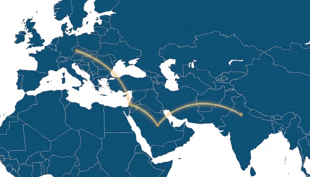
Interactive Map: Transportation, Communication, and Energy Infrastructure in the Middle East (May 2026)
Creator: Stephane Cohen | Research Team: Galia Lavi, Udi Dekel, Michael Ofer
The integrated map offers a broad, clear, and accessible visual overview of the current state and plans for transportation, communication, and energy infrastructure in the Middle East. At a time when regional infrastructure is becoming a central factor in shaping economic, political, and security relations, the map enables a rapid understanding of the complex network of connections spanning across the region.
By integrating multiple layers of information, users can focus on each domain separately or explore interactions among them, including land and maritime transport routes, communication lines, and digital infrastructure, as well as energy transmission networks for oil, gas, and renewable energy. The map highlights not only what currently exists in practice, but also initiatives in planning, projects under development, and future opportunities for regional cooperation.
This interactive presentation allows users to identify key trends, understand how infrastructure influences the flow of goods, information, and energy, and pinpoint strategic nodes. In this way, the map serves as a decision-support tool for policymakers, researchers, professionals, and the broader public alike.
Beyond presenting data, the integrated map provides a wider geographical, economic, and strategic context, helping to interpret the evolving dynamics of the Middle East, where infrastructure is not only a means of connection but also a central driver in shaping a shared regional future.
Interactive Map
The geographic data is updated continuously.
To prevent loading issues or browser crashes on mobile devices, please view the full interactive map below:
For additional details, please contact Stéphane Cohen at stephanec@inss.org.il
Sources: Independently gathered from open-source intelligence (OSINT).